Bay Area Bolsters Wildfire Defence with AI and NASA's Cutting-Edge Ember Risk Mapping

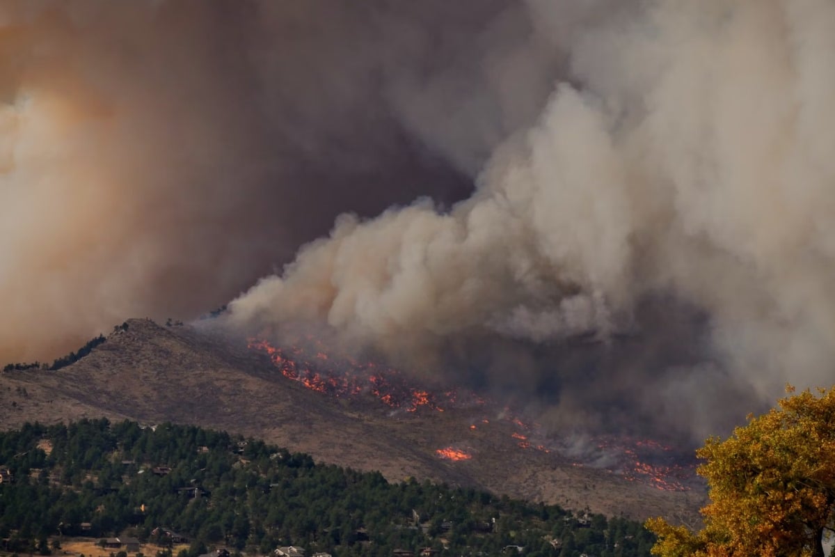
The Bay Area is taking a significant leap forward in its battle against increasingly devastating wildfires, embracing the power of artificial intelligence (AI) and leveraging groundbreaking technology developed by NASA. This proactive approach aims to dramatically improve early detection, prevention efforts, and ultimately, protect communities from the threat of rapidly spreading blazes.
AI-Powered Sensor Network: A New Era of Early Warning
Traditionally, wildfire detection has relied heavily on visual observation and reporting, often resulting in delayed responses. The Bay Area's new strategy involves deploying a network of AI-powered sensors strategically placed across high-risk areas. These sensors are designed to detect subtle indicators of potential fire ignition, such as smoke plumes, temperature spikes, and changes in wind patterns – often *before* a fire is visually apparent. The AI algorithms continuously learn and adapt, refining their ability to identify and classify these early warning signals with increased accuracy.
NASA's Ember Risk Map: Pinpointing Vulnerability
Complementing the AI sensor network is a revolutionary ember-risk map developed by NASA. This map doesn’t just show areas prone to large-scale wildfires; it pinpoints specific locations highly vulnerable to ember storms – the dangerous showers of burning debris carried by wind that can ignite new fires far ahead of the main blaze. NASA’s sophisticated modelling incorporates factors like vegetation density, wind patterns, topography, and building materials to create a granular assessment of ember risk. This allows fire agencies to focus preventative measures, such as vegetation management and defensible space creation, on the areas that need it most.
Synergy for Enhanced Protection
The true power of this initiative lies in the synergy between the AI sensor network and the NASA ember-risk map. The sensors provide real-time data on potential ignition sources, while the map identifies the areas most likely to be impacted by ember storms. This combined intelligence allows fire agencies to:
- Deploy resources strategically: Direct firefighting crews and equipment to the areas facing the greatest immediate threat.
- Implement targeted prevention measures: Prioritize vegetation clearing and defensible space projects in high-ember-risk zones.
- Issue timely warnings: Alert residents in vulnerable areas about potential fire danger, enabling them to take protective actions.
A Model for the Future
The Bay Area's innovative approach to wildfire defence is being closely watched by other regions grappling with increasing fire risks. By embracing cutting-edge technology and fostering collaboration between government agencies and space exploration pioneers, the Bay Area is setting a new standard for proactive wildfire management. This integrated strategy not only promises to protect lives and property but also offers a valuable blueprint for communities worldwide seeking to mitigate the devastating impacts of wildfires in a changing climate.
The integration of AI and NASA’s expertise highlights the potential for cross-sector innovation in addressing critical environmental challenges. As wildfire seasons become longer and more intense, these types of technological advancements will be essential for building more resilient communities.


